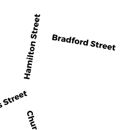
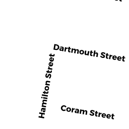
2 HAMILTON STREET
Owner Information
ROMAN CATHOLIC BISHOP OF FALL RIVER
2 HAMILTON STREET
TAUNTON, MA 02780


Property Details
2 HAMILTON STREET is classified as a CHURCH MD 94 (Schools).
The primary structure on this property was built in 1950. There are 106,132ft2 of built area within this property. There is 96,208ft2 of residential/living space within this property.
2 HAMILTON STREET is valued at $13,035,300. The land is valued at $107,000 and the structures are valued at $12,854,000. There is an additional valuation of $74,300 on this property.
The most recent deed for 2 HAMILTON STREET is recorded at the local registrar in Book 1111, Page 0111. 2 HAMILTON STREET was last sold on Sunday, January 1, 2006 for $0.
Assessment data from fiscal year 2021.
Flood Data
This property is partially within the AE Zone (within floodplain). Approximately 0.04 acres (0.76%) of the property is within this zone.
A portion of this property is denoted as being within a floodway.
This information is sourced from the FEMA National Flood Hazard Layer. See our full disclamer.
Broadband Internet Providers
| Provider | Type | Bandwidth (mbps) | |
|---|---|---|---|
| VSAT Systems, LLC. | Satellite | 2 | 1 |
| Comcast | Cable | 1000 | 35 |
| GCI Communication Corp. | Satellite | 0 | 0 |
| Verizon New England Inc. | DSL | 7 | 0 |
| HughesNet | Satellite | 25 | 3 |
| Verizon New England Inc. | Fiber | 940 | 880 |
| Viasat Inc | Satellite | 100 | 3 |
Broadband service provider data from December 2020.